
Case Study · Exploratory platform
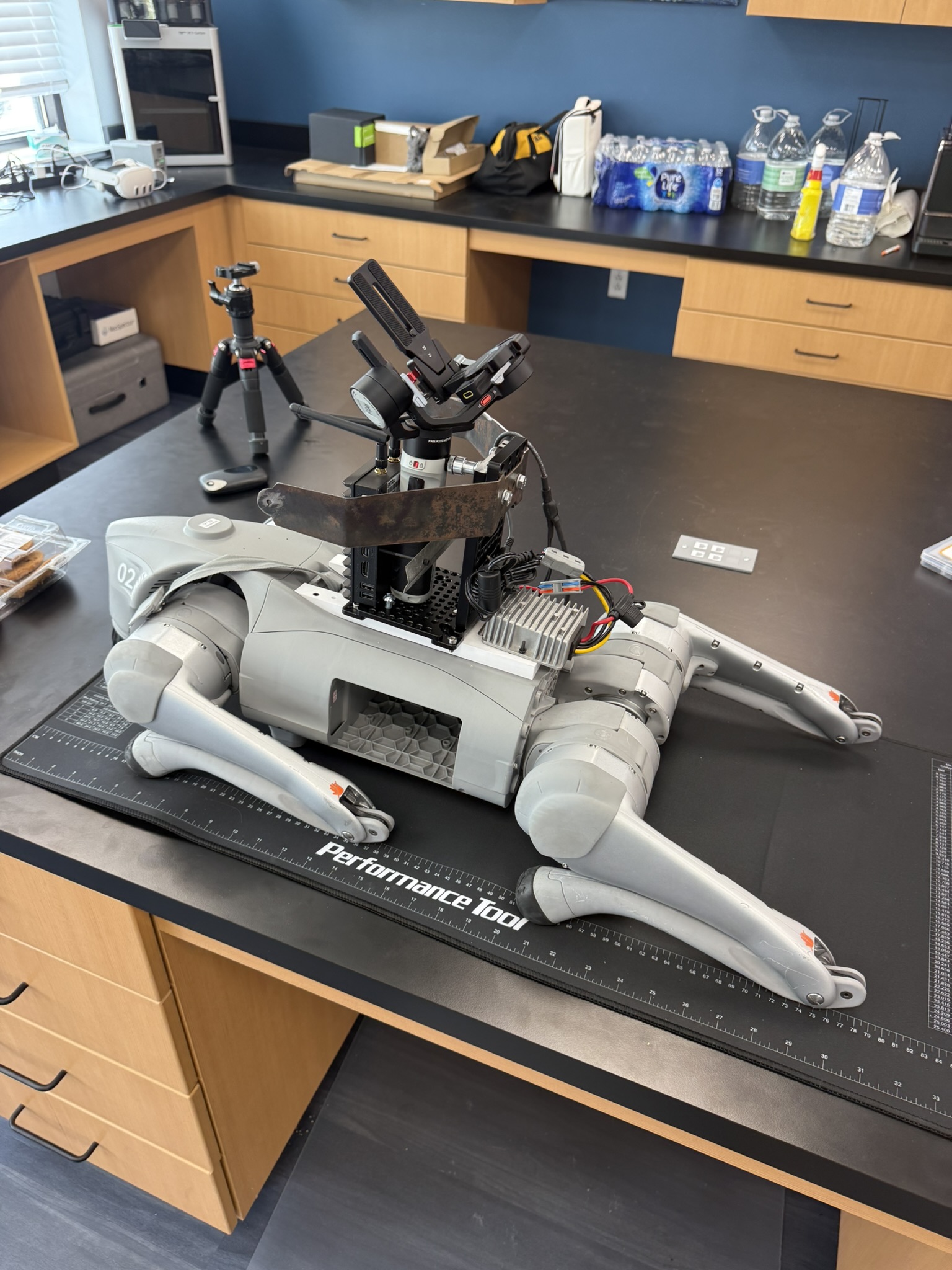
Multi-sensor RobotDog field platform
Exploratory integration of RGB, hyperspectral, LiDAR, and edge computing for field sensing, validation, and multimodal environmental data collection.

Problem
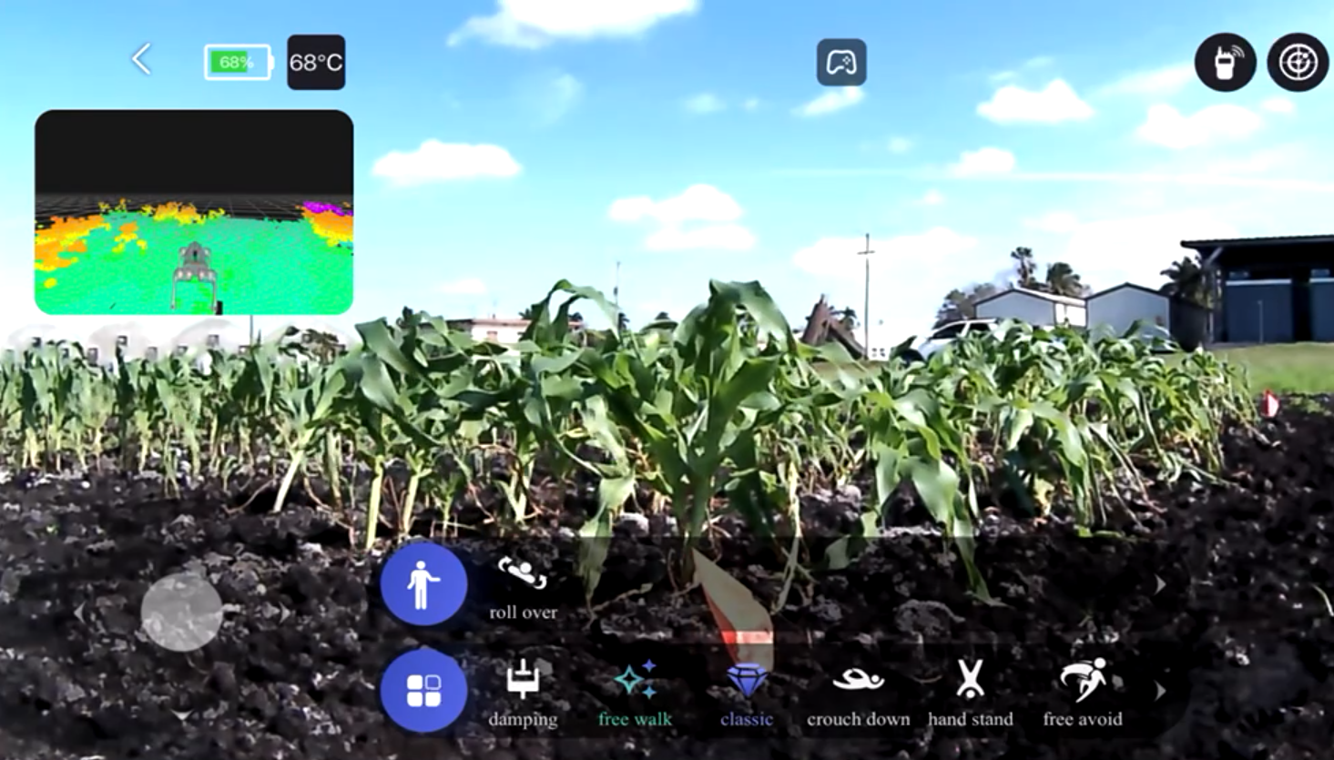
Some crop and soil observations require repeatable, close-range sensing below the scale or visibility available from satellites and conventional field scouting. A mobile platform can explore how multiple sensors might support rapid collection and model validation.
Role
Giannis contributed to exploratory sensor integration, field testing, environmental use-case definition, data-collection planning, and interpretation within a University of Florida research setting.
Data and Methods
- Unitree quadruped mobile platform
- RGB and hyperspectral imaging
- LiDAR and positioning context
- NVIDIA Jetson edge computing
- Outdoor field testing and multimodal data collection
Deliverables
- Exploratory integrated sensing platform
- Field data-collection and logging workflow
- Multimodal datasets for testing and model validation
- Demonstration outputs for scouting and mapping concepts
- Technical notes on integration constraints and next steps
Evidence and Status
This is an exploratory research platform and demonstration, not an operational monitoring service. It is included as evidence of field sensing, systems integration, and edge data-collection experience.
Institutional Relevance
The platform is relevant to research teams exploring close-range ground reference, phenotyping, orchard or crop inventory, rapid scouting, and validation of broader geospatial products.
Limits and Next Steps
Outdoor autonomy, sensor calibration, synchronization, battery life, terrain, safety, and generalization require further testing. Operational deployment would need engineering validation and site-specific protocols.