Portfolio
Selected work showing how field data, Earth observation, soil spectroscopy, machine learning, and decision-support interfaces can be combined into practical environmental intelligence workflows.
- All
- Agriculture
- Earth Observation
- AI & LLM
- Environment
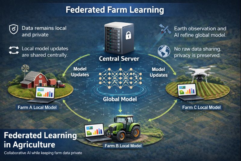
TerraFed
Privacy-Preserving Software DevelopmentPrivacy-preserving federated learning and GeoAI workflow for collaborative soil mapping, carbon and texture monitoring, and dashboard-ready outputs.
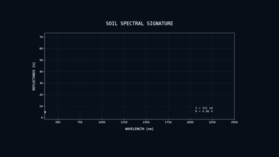
Lab Protocols & Pipelines
Published Research WorkflowReproducible soil spectroscopy and spectral-quality workflows supporting consistent model development, filtering, and cross-dataset analysis.
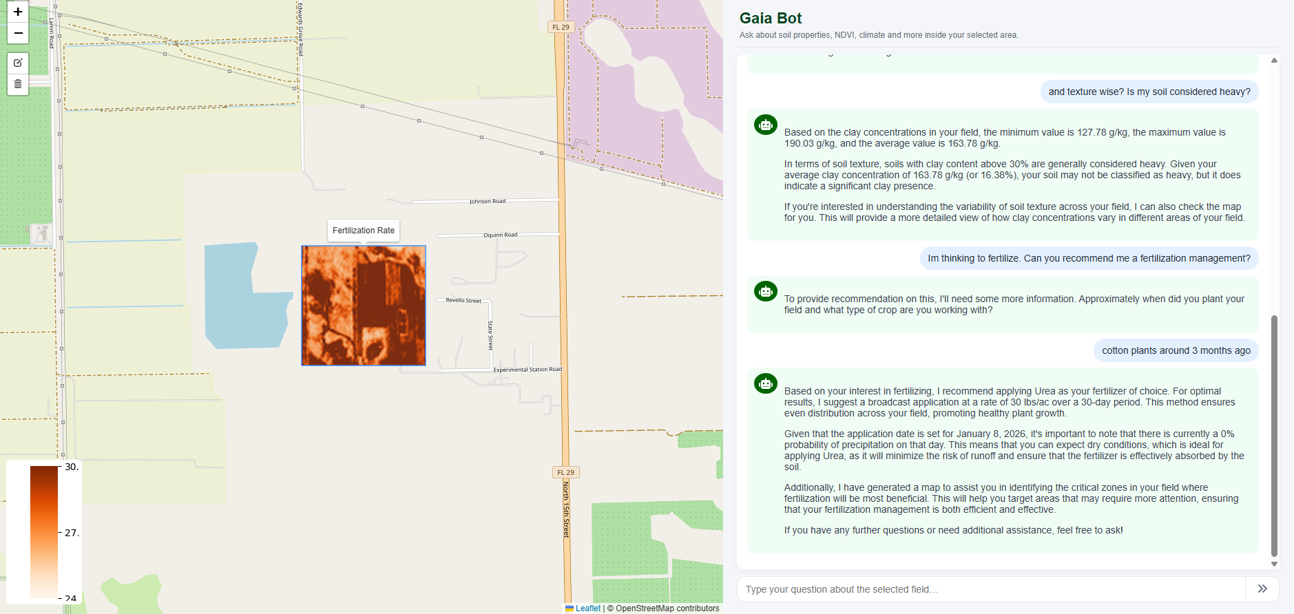
GaiaBot
Environmental AI AgentConversational environmental assistant connecting Earth observation layers, field context, and trusted references to support practical agricultural and soil-management decisions.
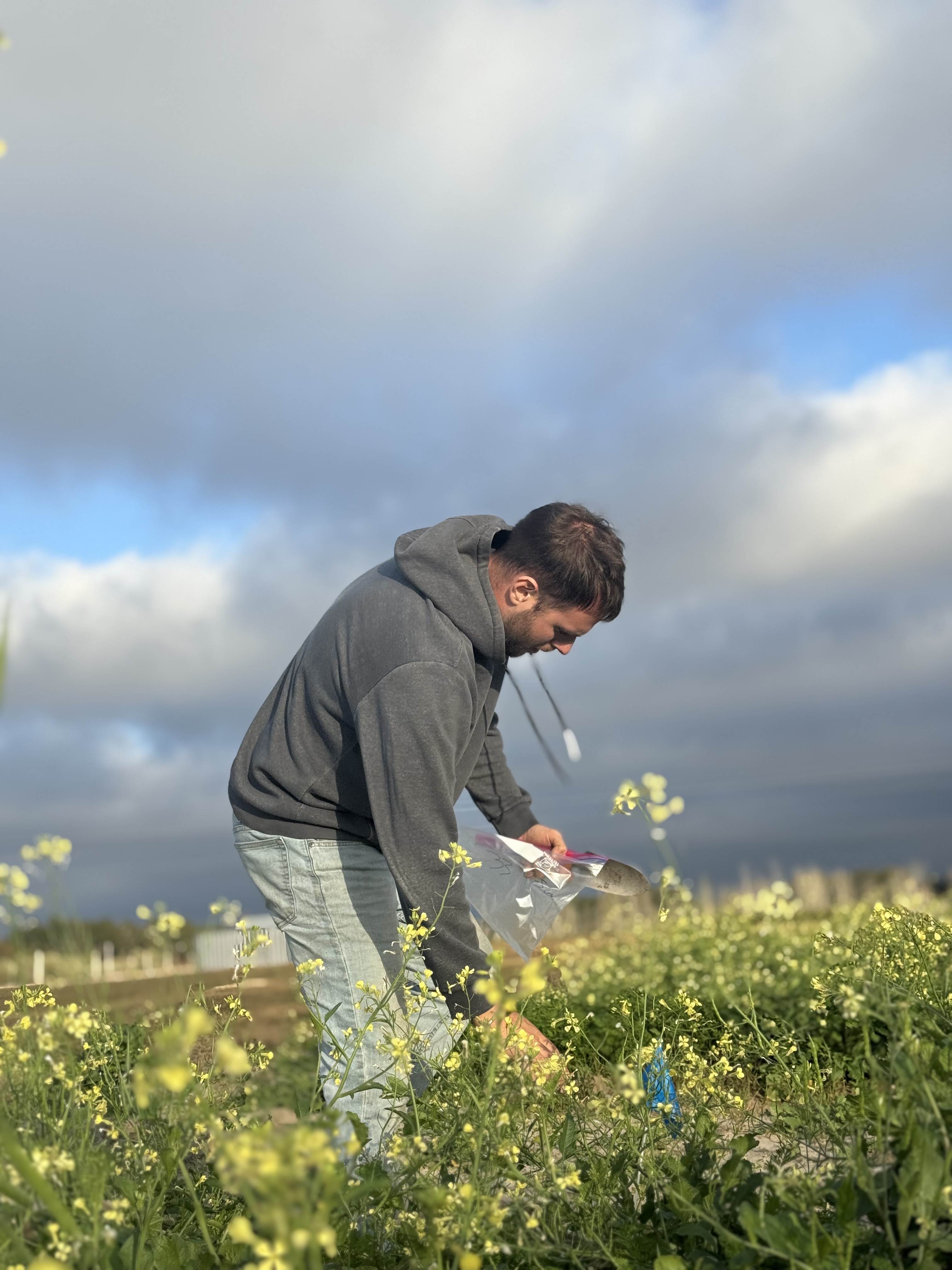
Field Sampling
Field Campaign Design & CoordinationGround-truth field campaigns for soil, water, carbon, drone-based mapping, and EO/ML model validation.
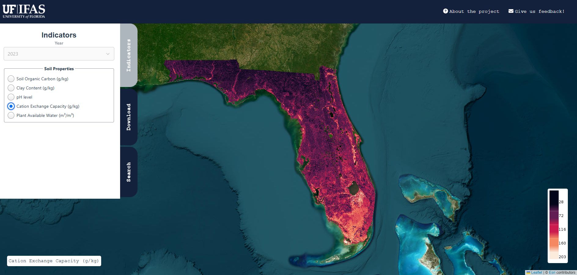
EO Dashboards
Interactive UI & Decision-Support DesignInteractive Web GIS and dashboard tools for soil monitoring, irrigation scheduling, and communication of EO-derived environmental indicators.

Multi-Sensor RobotDog Platform
Edge Sensing SystemsExploratory multi-sensor robotics platform integrating RGB, hyperspectral, LiDAR, and edge computing for agricultural mapping and field intelligence.