
What caught my eye
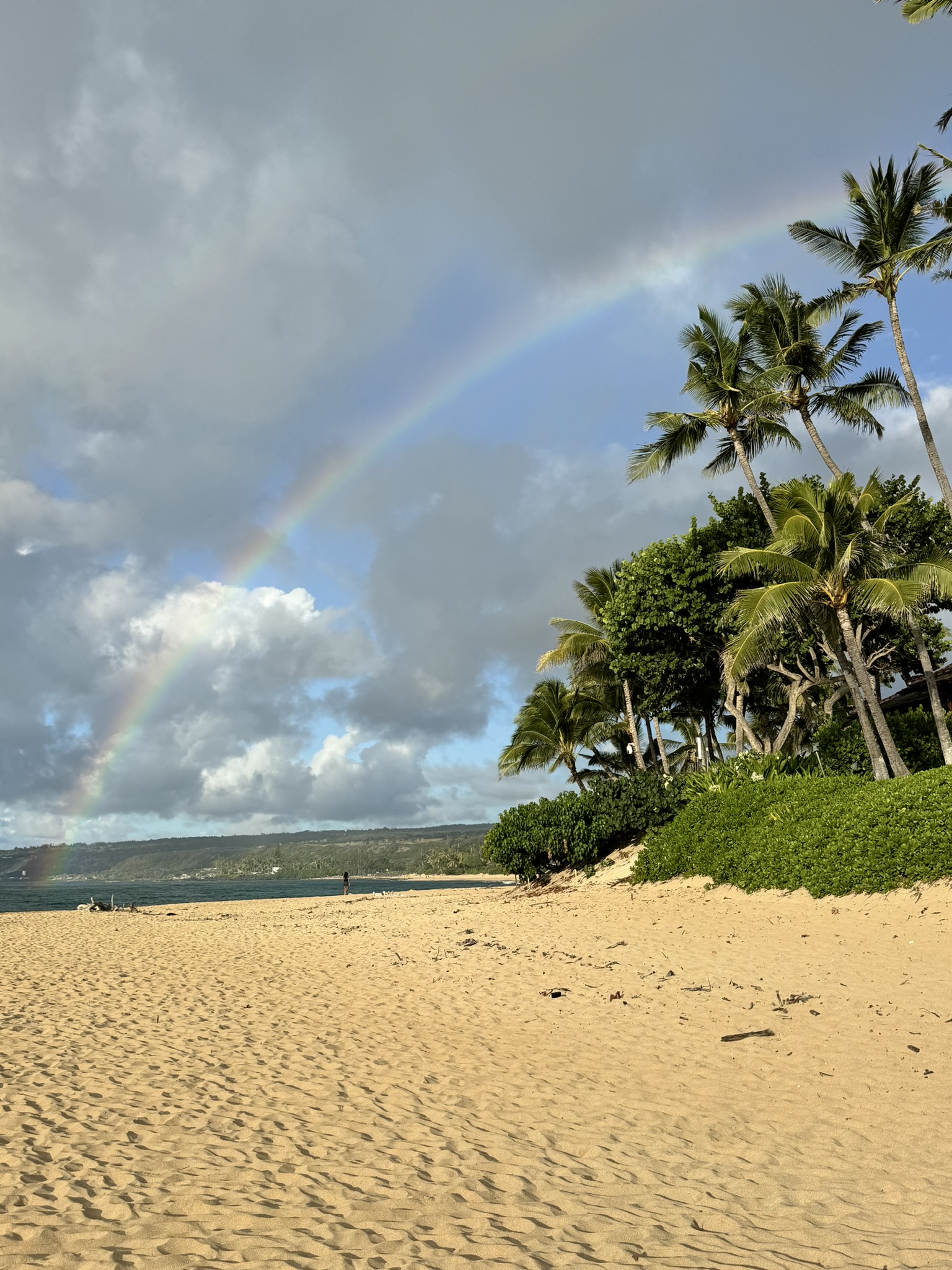
Volcanic terrain, coastlines, water, tropical vegetation, and agriculture meet within a compact landscape.
Field Note
Hawaii / water, volcanic terrain, and tropical agriculture

Main reflection
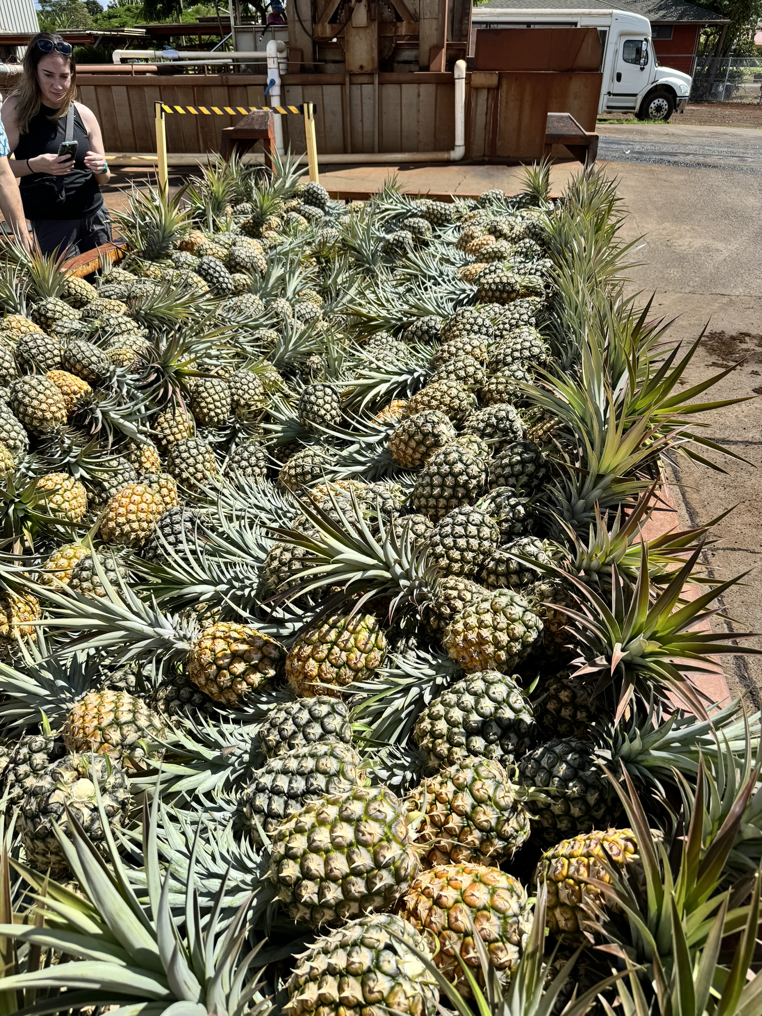
Volcanic terrain, coastlines, tropical vegetation, water, and agricultural production intersect visibly across the islands. Pineapple fields make crop pattern, spacing, color, and condition legible before any formal model is built.
Field notes
Volcanic terrain, coastlines, water, tropical vegetation, and agriculture meet within a compact landscape.
Pineapple-field pattern, spacing, color, and condition are visible before any formal model is applied.
How should water, terrain, management, and field observations be combined to explain crop-condition signals?
Project lesson
The experience reinforces that image-based crop monitoring works best when water, terrain, management, and field observations are interpreted together. Visual and spatial evidence should serve a practical decision, not exist as an isolated layer.