
What caught my eye
Small changes in surface texture, salt, drainage, and vegetation become unusually legible in extreme aridity.
Field Note
Atacama Desert / aridity, soil signals, and environmental change
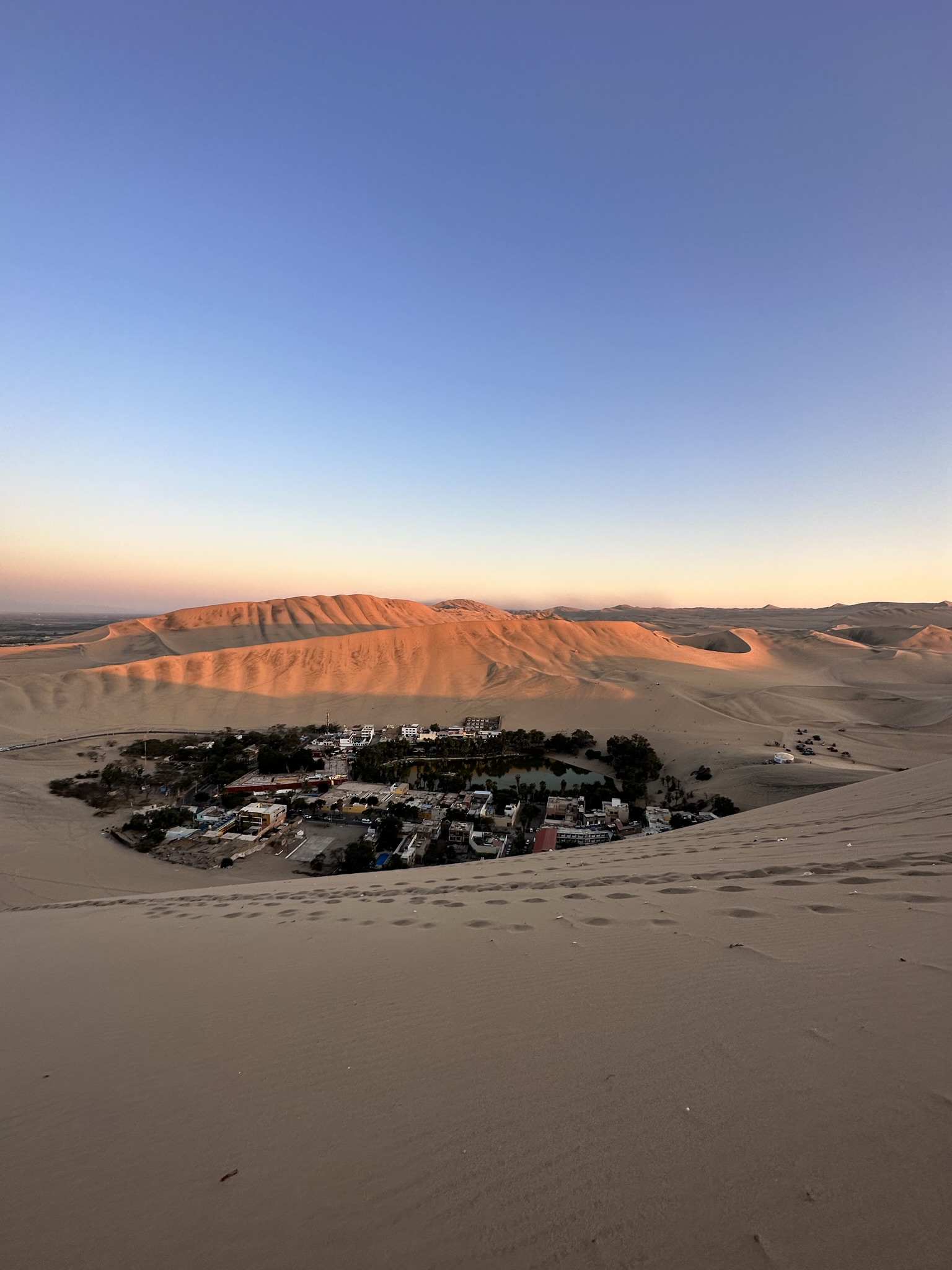
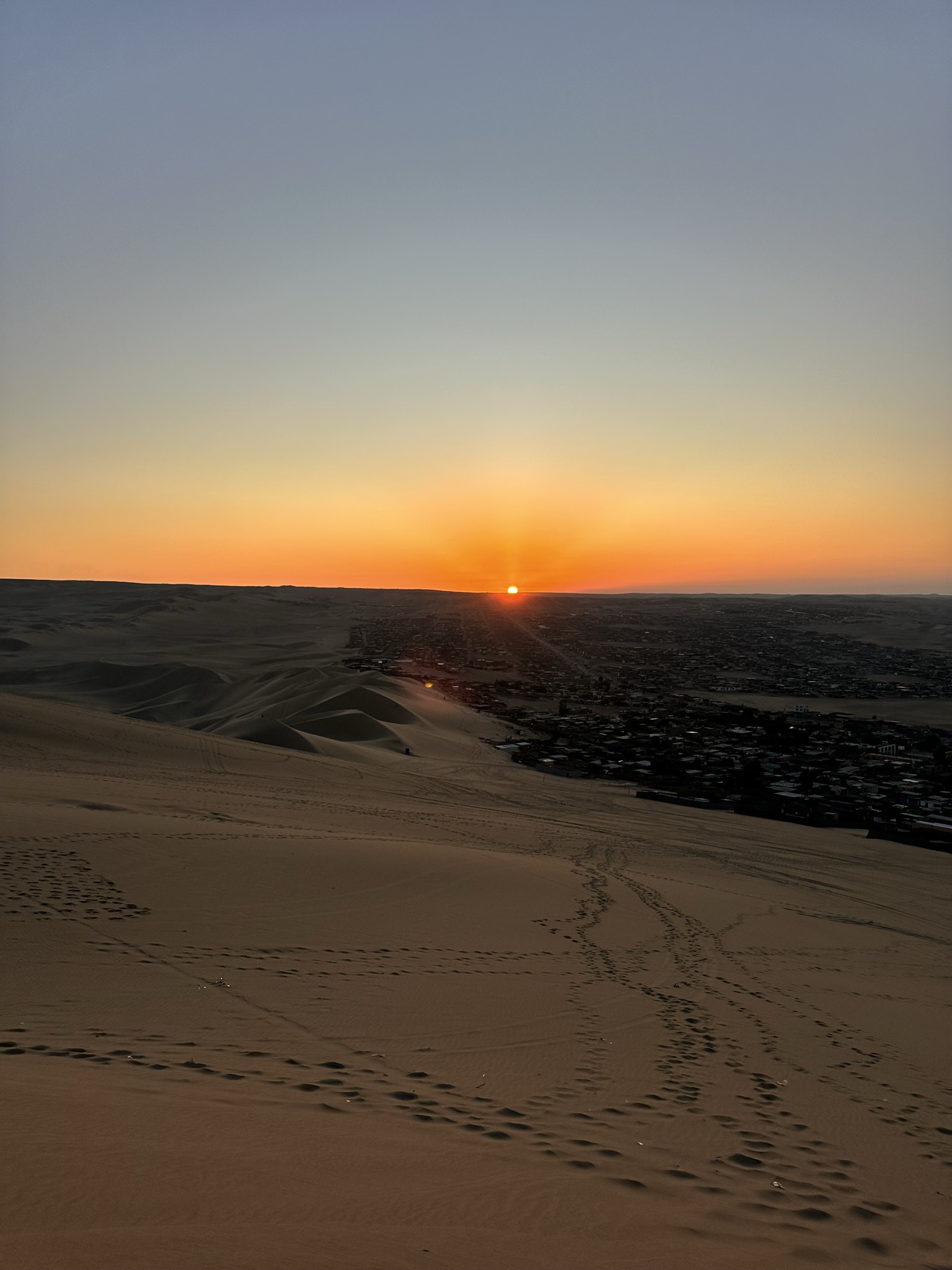
Main reflection
Extreme aridity makes small differences in surface texture, salt, drainage, and vegetation unusually informative. The landscape sharpens attention to desertification, land degradation, and the ways soil records water limitation and climate stress.
Field notes
Small changes in surface texture, salt, drainage, and vegetation become unusually legible in extreme aridity.
Water limitation and climate stress leave strong signals in soils and sparse vegetation.
Exposed soil, salt, drainage, and sparse cover need separate attention rather than one uniform dryland class.
Project lesson
This perspective encourages careful EO interpretation in drylands: subtle signals need field context, appropriate scale, and humility about what a satellite can resolve. Monitoring design should distinguish exposed soil, salt, sparse vegetation, and drainage patterns rather than treating dry terrain as uniform.