
Case Study · Research and field workflow
Field sampling and ground-reference workflows
Field protocols, spatial design, metadata, QA/QC, and model-ready observations for soil, water, carbon, irrigation, and EO validation.
Problem
Spatial models and monitoring claims depend on reference observations that are consistently located, described, handled, and connected to the intended analysis. Missing metadata or weak coverage cannot be repaired easily after a campaign.
Role
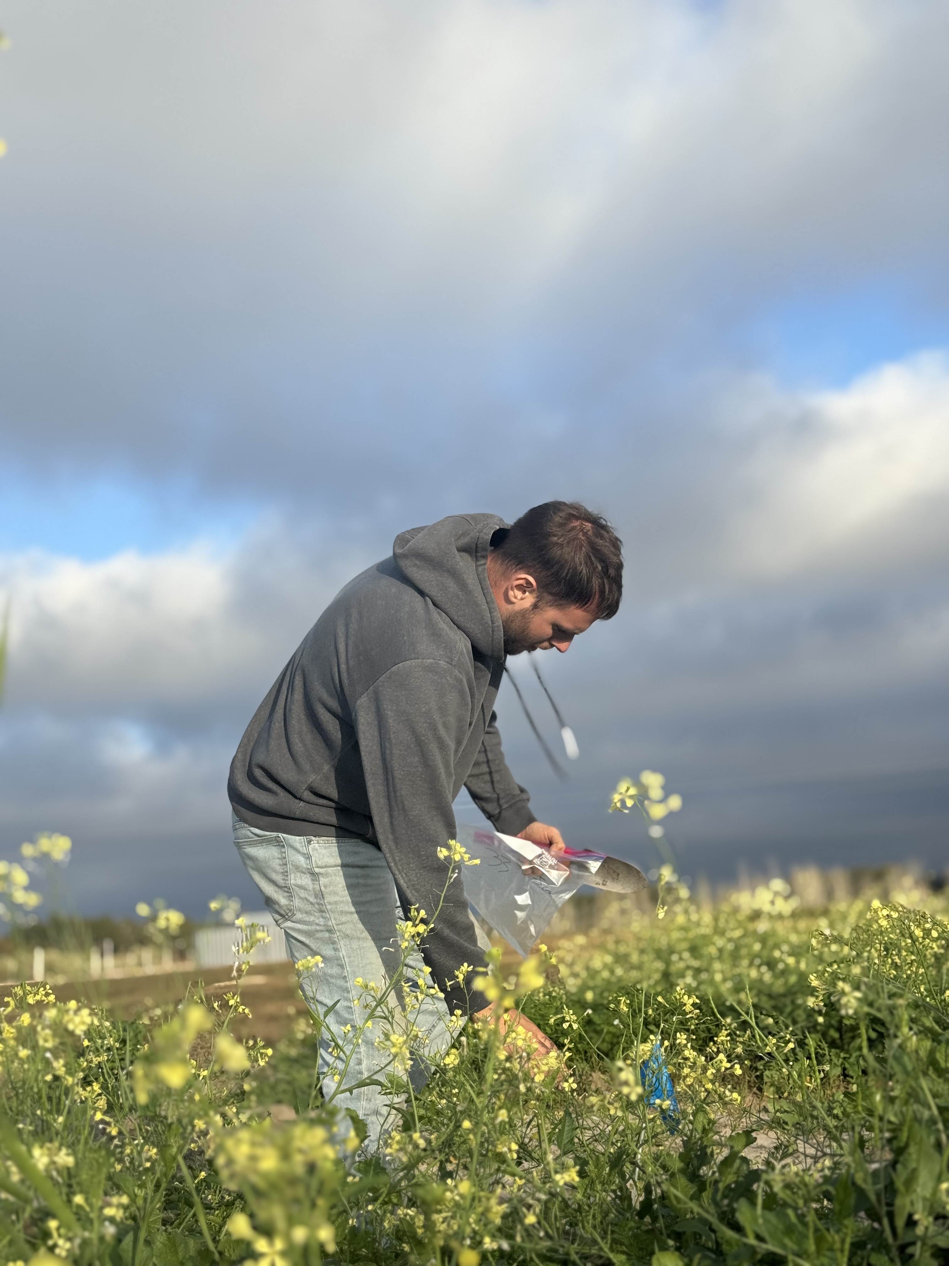
Giannis has supported sampling design, GPS and metadata capture, soil and water observations, field coordination, sensor deployments, drone-supported observation, QA/QC, and the connection between field evidence and analysis.
Data and Methods
- Sampling design aligned with the monitoring objective
- GPS, site context, metadata, and labeling workflows
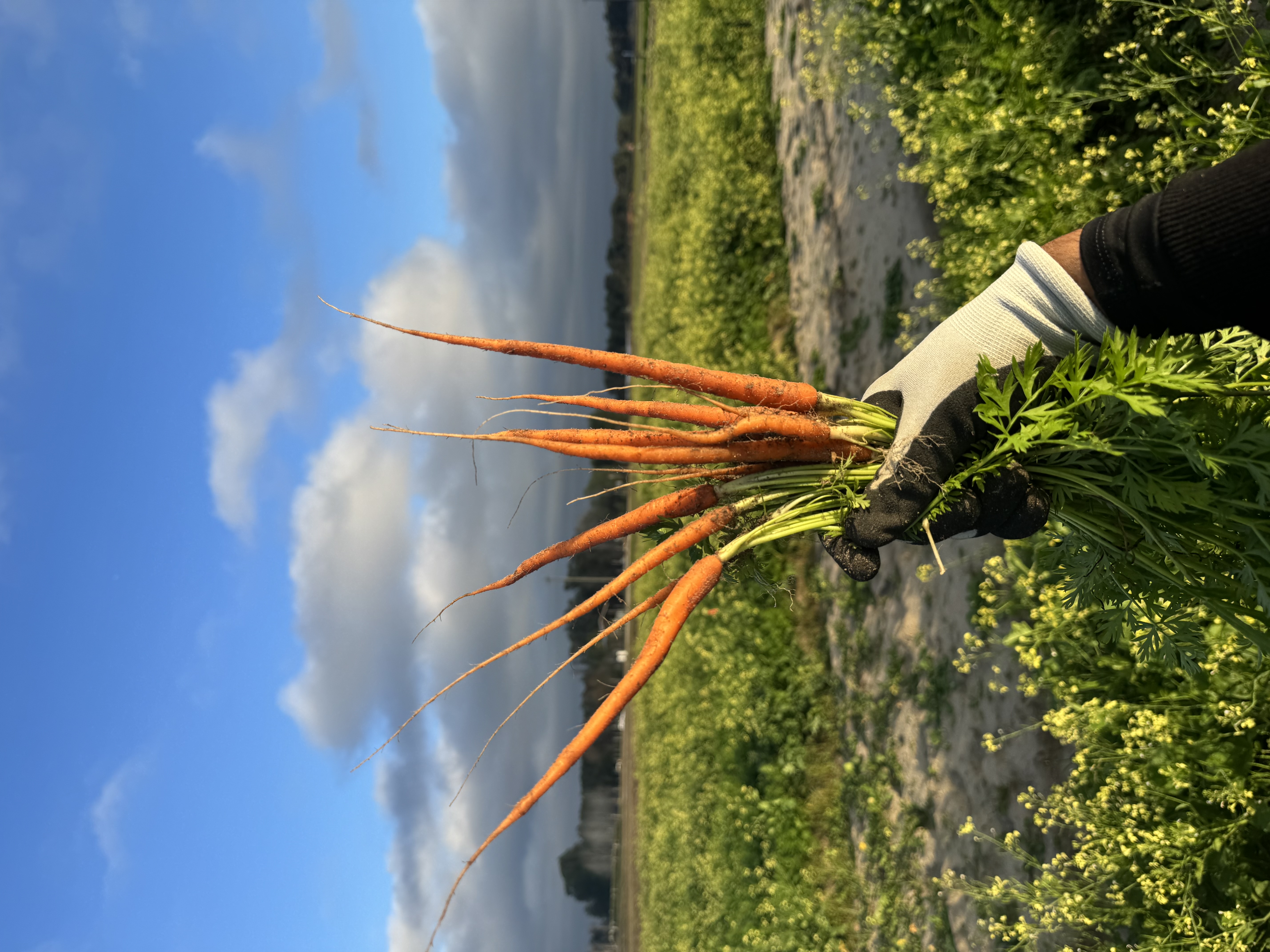
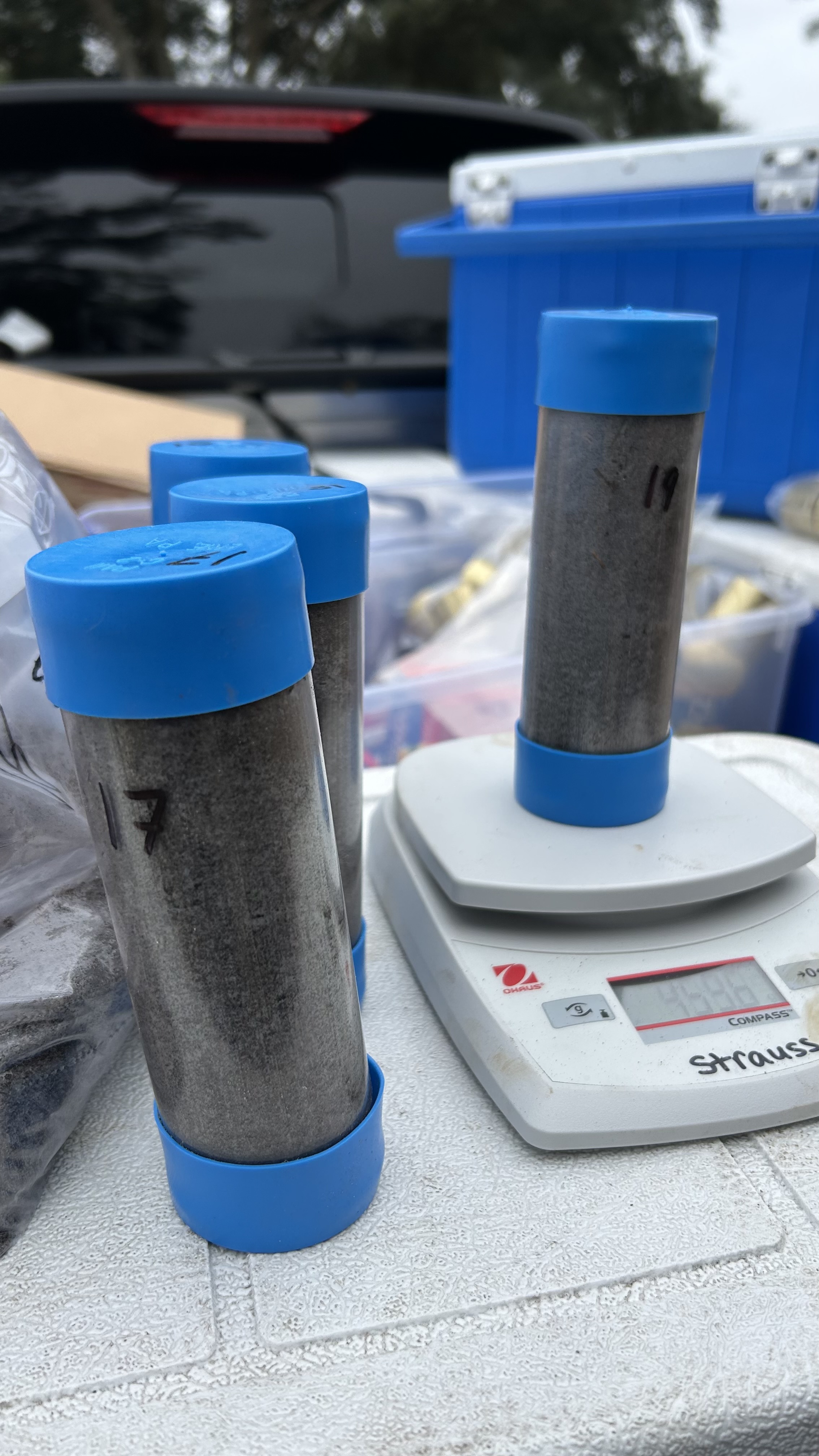
- Soil cores, composite samples, water or field measurements, and sensor observations
- Field maps, drone-supported context, and sample tracking
- QA/QC and preparation of model-ready datasets
Deliverables
- Sampling plan and site-selection logic
- SOPs, map books, and field forms
- Metadata schema, labeling plan, and QA/QC checklist
- Curated GIS-ready and model-ready datasets
- Validation summary and recommendations for follow-up rounds
Evidence and Status
The case study summarizes research and field experience across soil health, carbon, water, irrigation, and EO-validation settings. Specific campaigns retain their original institutional and partner context.
Institutional Relevance
The workflow is transferable to monitoring programmes, MRV pilots, research consortia, and EO validation where defensible evidence requires traceable field methods and a clean handover.
Limits and Next Steps
Field execution depends on access, permissions, safety, seasonality, laboratory capacity, local expertise, and agreed data governance. Sampling density and design must reflect the decision scale and available resources.