
Case Study · Research prototype
GaiaBot
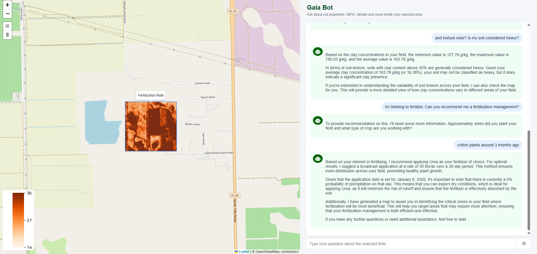
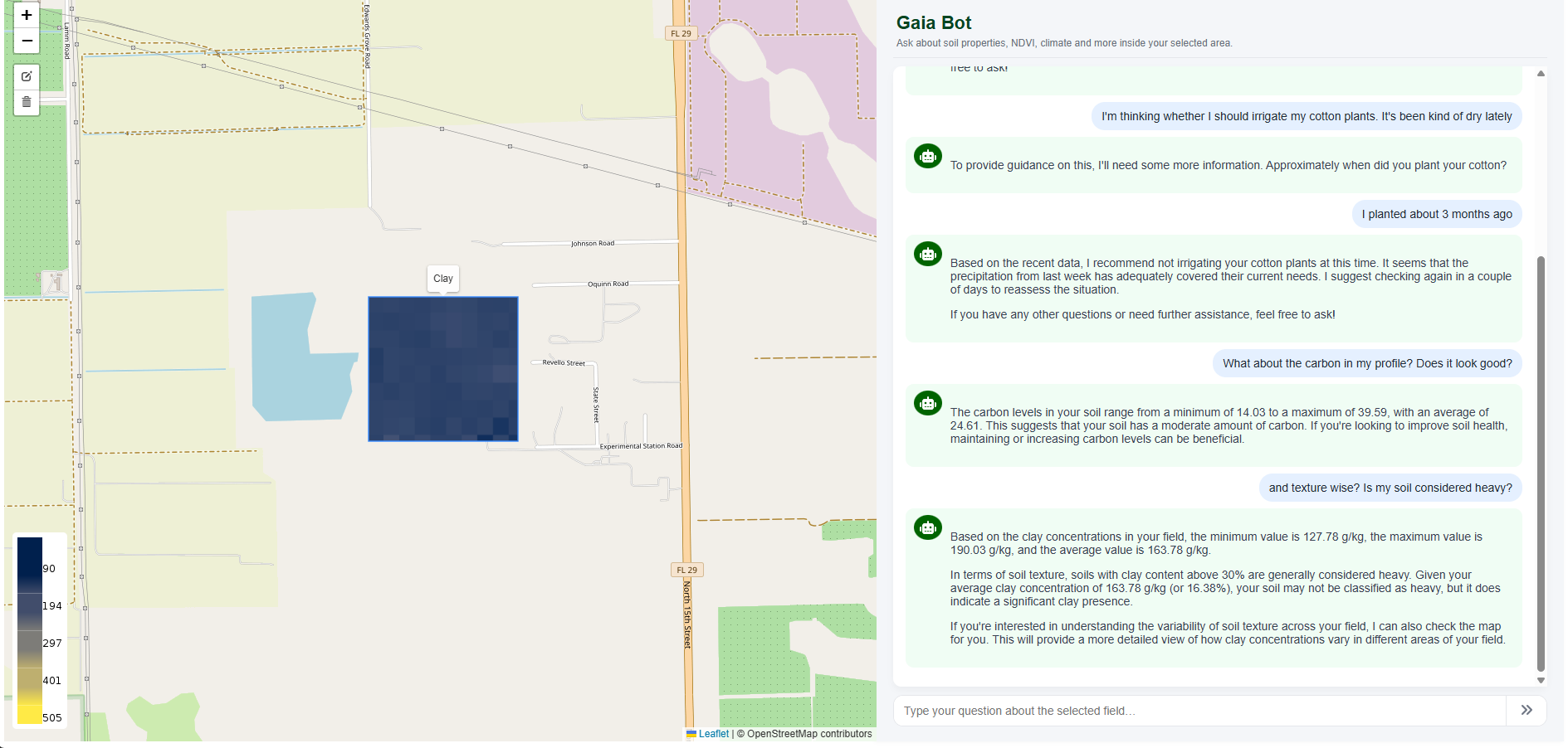
An AI-assisted geospatial interface connecting maps, APIs, expert documents, retrieval workflows, and environmental context.
Problem
Environmental data are spread across maps, APIs, technical documents, and domain-specific terminology. Non-specialists need a clearer path to relevant evidence without hiding the source, limitations, or need for expert interpretation.
Role
Giannis contributed to technical concept development, geospatial and environmental data connections, retrieval-augmented workflow design, interface testing, and communication of prototype use cases and limitations.
Data and Methods
- Geospatial layers and map interaction
- Environmental APIs and structured data retrieval
- Expert documents and retrieval-augmented generation
- Question interpretation and traceable reference design
- Interface prototyping for soil, agriculture, water, and event-response contexts
Deliverables
- Working research interface
- Map- and API-connected response workflow
- Document retrieval and reference patterns
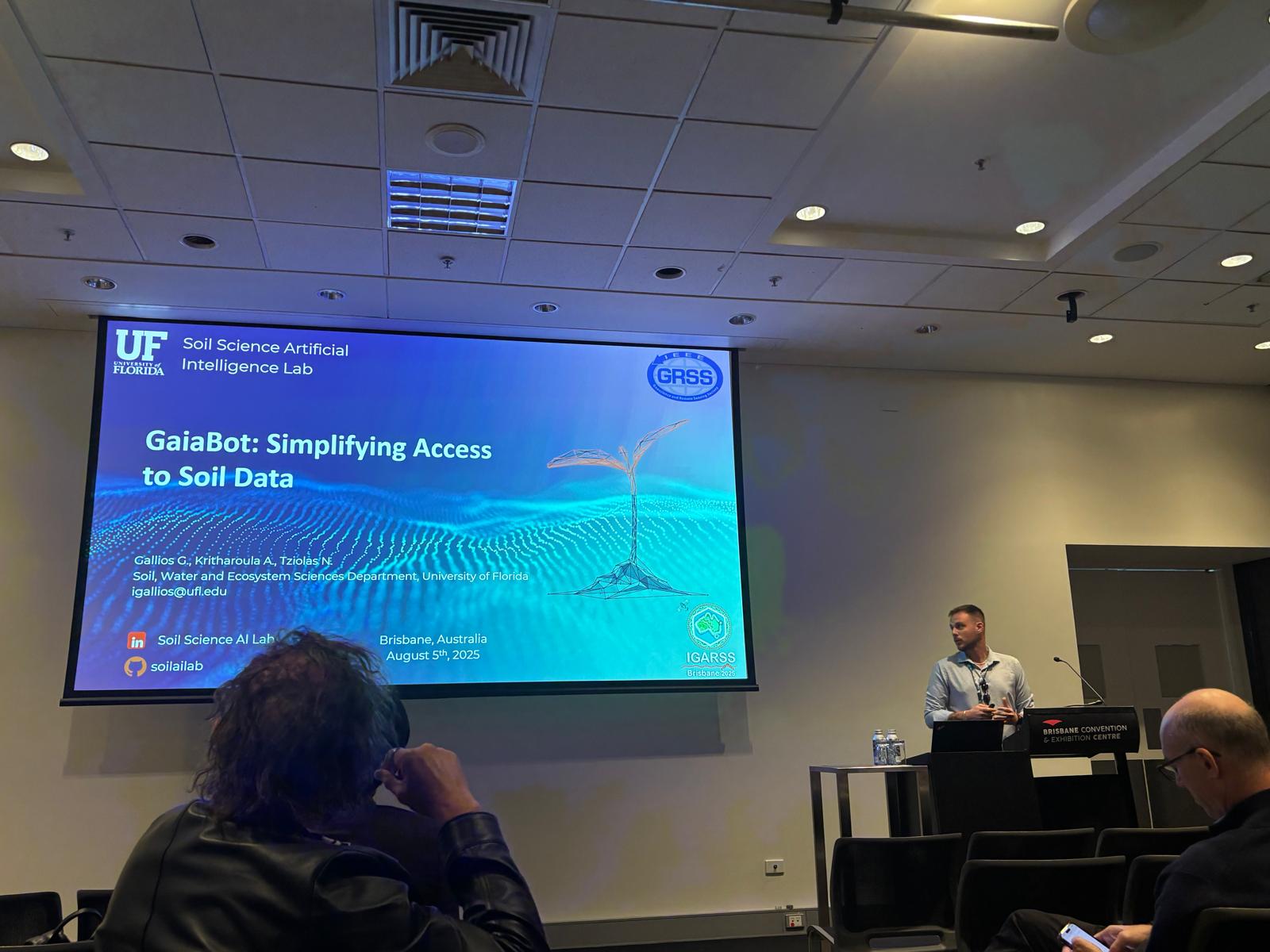
- Prototype scenarios and stakeholder-facing demonstrations
- Technical notes on limitations and future integration
Evidence and Status
GaiaBot is a research prototype and exploratory environmental AI interface. Public demonstrations show the concept; outputs require source checking and expert review before decisions are made.
Institutional Relevance
The prototype illustrates how agencies, labs, Extension teams, and project dashboards could make technical evidence easier to navigate while retaining links to maps, documents, and data sources.
Limits and Next Steps
Language-model outputs can be incomplete or incorrect. Data access, API availability, document quality, permissions, and expert validation remain necessary. The prototype is not a substitute for professional or regulatory judgment.