Services/Field sampling, monitoring, and ground-reference design Technical consultancy
Field sampling, monitoring, and ground-reference design
For teams that need field observations designed around the monitoring decision, with practical protocols, spatial coverage, metadata, QA/QC, and model-ready handover.
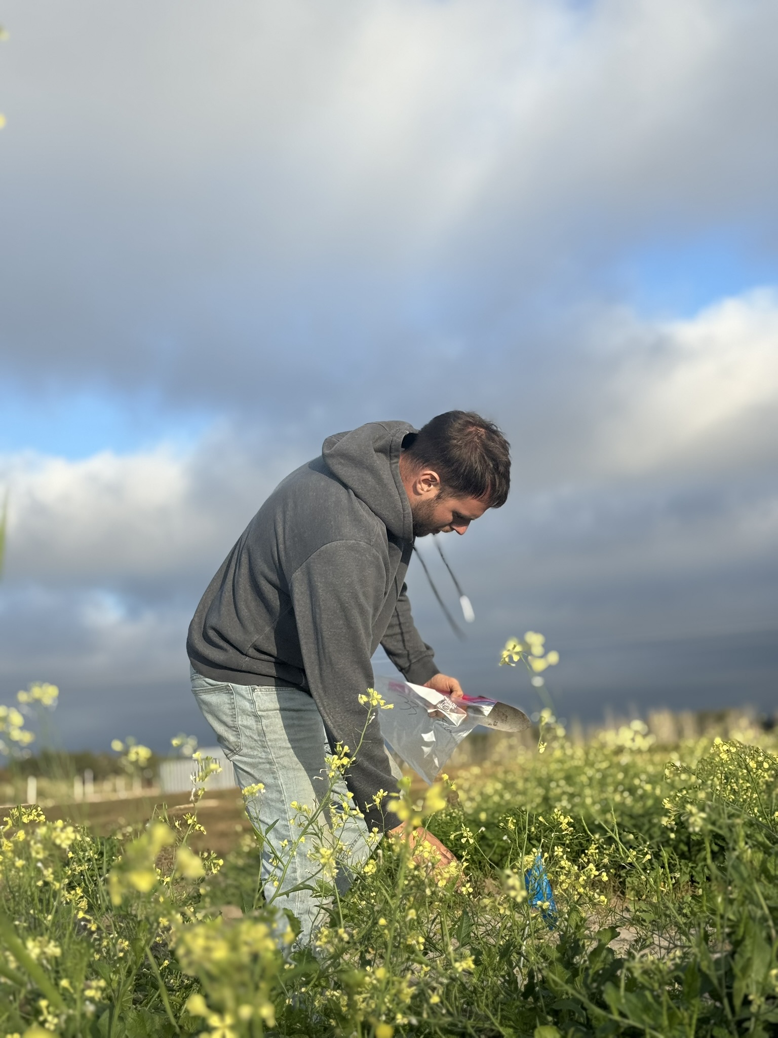
Who this helps
EO and MRV teams, laboratories, agencies, research consortia, farms, and field programmes collecting soil, water, vegetation, carbon, irrigation, or validation data.
Common project questions
- What sampling unit, depth, timing, density, and spatial design match the objective?
- How should samples, coordinates, metadata, and chain-of-custody information be recorded?
- Which QA/QC checks will prevent avoidable gaps before analysis?
- How will field observations connect to EO validation, laboratory analysis, reporting, or future monitoring rounds?
Support options
- Advisory review of an existing protocol or field plan
- Defined sampling and metadata design package
- Ground-reference plan for EO or model validation
- Field-to-dataset workflow, map book, QA/QC, and handover support
Deliverables
- Sampling strategy, site selection logic, and map books
- SOPs, field forms, metadata schema, and labeling plan
- QA/QC checklist and data-provenance notes
- GIS-ready locations and curated model-ready datasets
- Validation summary and recommendations for follow-up monitoring
Evidence and related case studies
Boundaries and limitations
Implementation depends on local access, permissions, health and safety requirements, seasonal conditions, accredited laboratories, and local field expertise. Remote support can design and review workflows; in-country execution must be agreed separately with responsible partners.